Watershed Governance Framework
Malahat Nation Lands and Environment department is working with Dillon Consultants to create a Watershed Governance Framework. The Malahat Benchlan...
Active
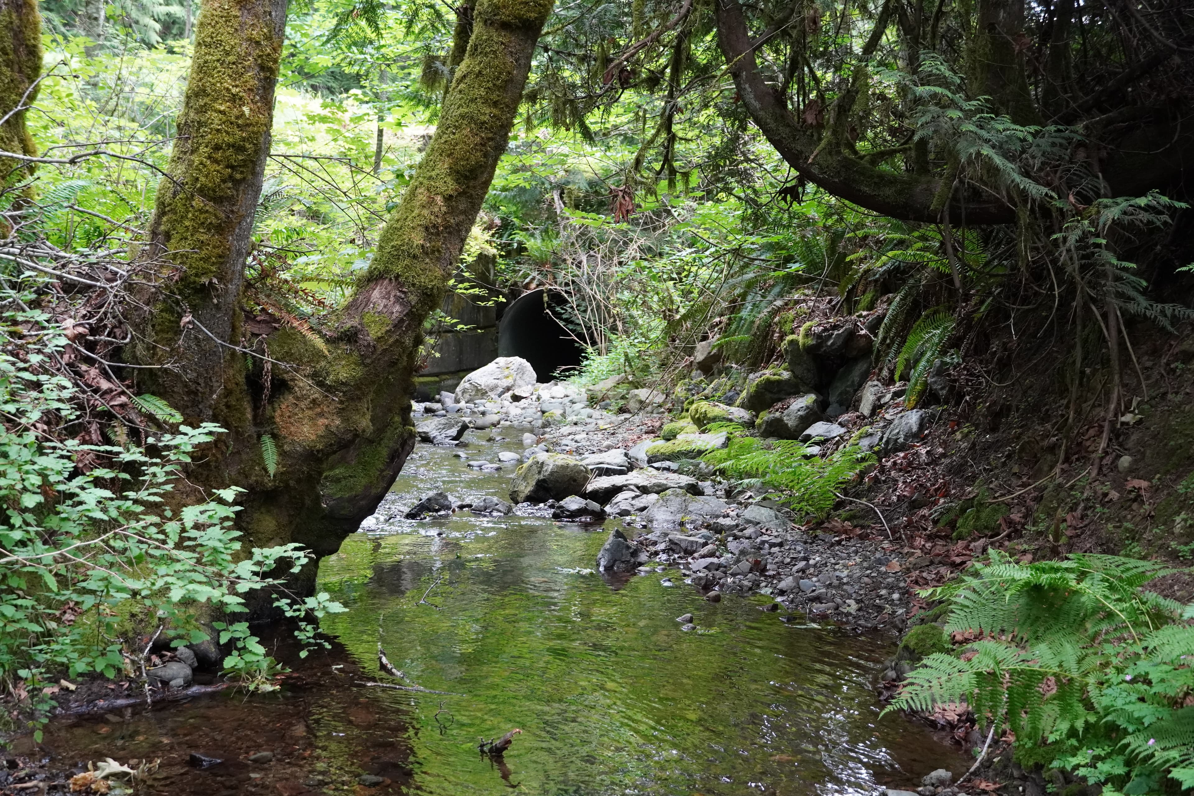
Malahat Lands & Environment is working with VRLP (Virtual Reality Landscape Platform) Inc. to virtually recreate two natural spaces on Malahat Territory. These sites will be available to view using virtual reality headsets, allowing community members to travel across the territory right from the Lands & Environment Office!
We've aimed to recreate the sites as faithfully as possible -- we built highly detailed models of native plants (camas, sword fern, cedar, nootka rose, and many others), removed invasive species like Himalayan Blackberry, and took hundreds of photos to ensure it really feels like you're on the land.
The next steps for this project include interviewing elders and knowledge keepers and developing a script so visitors can be walked through the history and importance of each site by a community member when they enter the virtual space. We hope to incorporate teachings about harvesting plants, fish and sea life, and stories associated with each place to help preserve community knowledge and build new ways to transfer knowledge from generation to generation. These virtual spaces will also be used to showcase Malahat's priorities for conservation of natural and cultural spaces!
VRLP has a website (https://vrlandscapesplatform.com/) if you'd like to see more photos and information on development!
Aug 2024 - Jul 2025
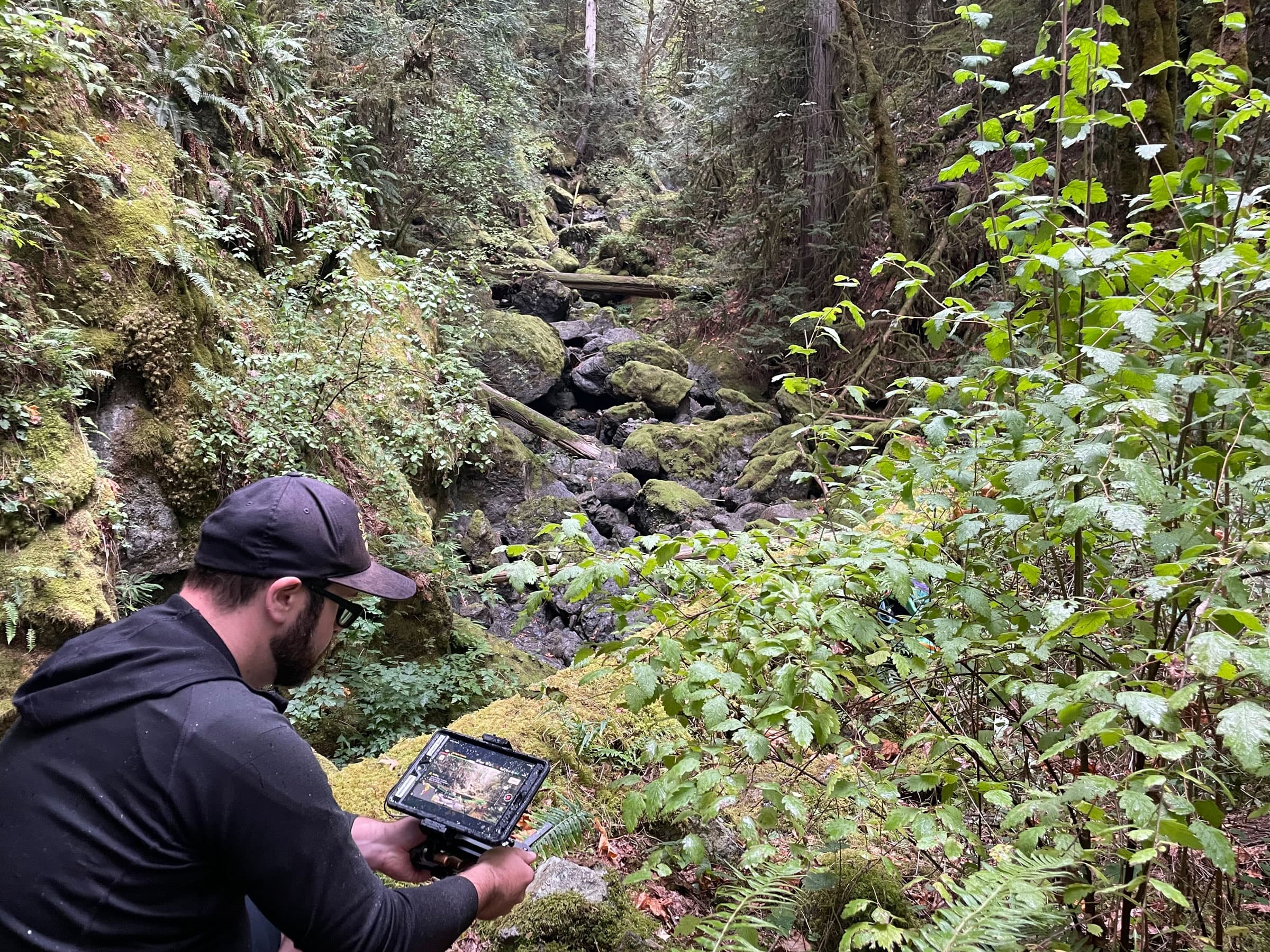
Lands & Environment and the VRLP team visited the two sites over a year to collect photographs across seasons of the site itself, along with native plants. These photos were used to develop highly detailed plant models and introduce seasonal variation across each site.
Jan 2025 - Aug 2025
Malahat partnered with Camosun College to use the photographs of plants at each site to create hyper-realistic 3D models of plant species found at each site. This includes the first 3D model ever produced of Common Camas!
These plants are able to change through the seasons and will help build realism into each site so we can see how each area looks through the seasons
Ongoing - Mar 2026
This involves the actual development of the sites! The VRLP team is carefully crafting each site so it feels like you're really there, and incorporating interactive elements like being able to pick plants to get more information, or key areas where stories can be heard.
Dec 2025 - Ongoing
Malahat Lands & Environment will work with Elders and Knowledge Keepers to determine what teachings, stories, and history is relevant and appropriate to share for each site. We will develop a script and create audio recordings that can be heard when a user is in the VR space to hear Elders' teachings while walking through each site.
Some interviews were conducted and a draft script created, more work is necessary to pull together community knowledge of each space.

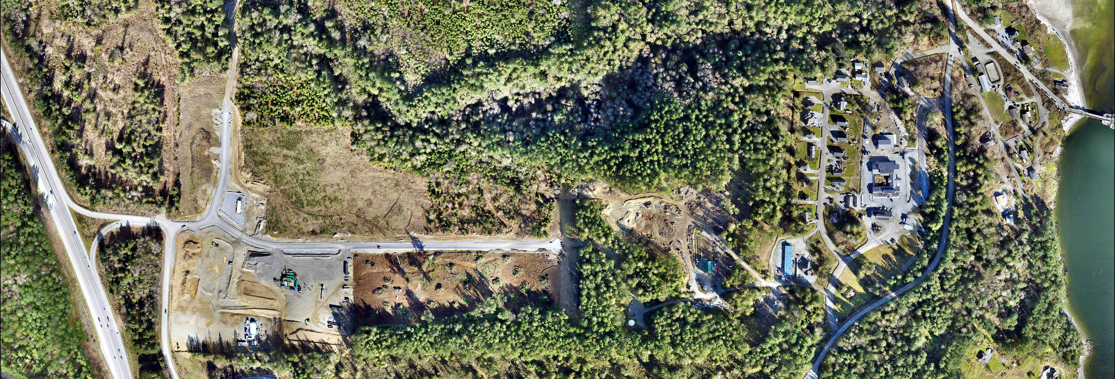
Taking Drone Imagery at Site 2

Site 1
Malahat Nation Lands and Environment department is working with Dillon Consultants to create a Watershed Governance Framework. The Malahat Benchlan...
Active
Malahat Nation Lands and Environment department is working with Dillon Consulting on a Local Area Plan (LAP) and Design Guidelines project. The LAP...
Active
OverviewThe Economic Development Department is advancing the strategic and operational development of the Malahat Business Park (MBP), a 44 acre si...
Active
Malahat Nation Fibre Network Upgrade ProjectMalahat Nation has relied on cable internet service provided by Rogers (formerly Shaw) for over two dec...
Active